Free EU/US shipping on orders over €100 | Designed by Pilots, for Pilots

Planning an aerial photography hike: footwear, pack weight and launch safety
Some of the most memorable aerial photographs—coastal sea stacks at dawn, autumn forest canopies, or winding mountain passes—cannot be captured from a roadside parking lot. Reaching those vantage points means strapping your drone to your back and hiking in before sunrise.
Hiking with a drone is very different from flying next to your car. You cannot go back to the trunk for a forgotten cable, flat launch pads barely exist on rocky trails, and every extra kilogram in your pack slows your climb. Here is how experienced landscape pilots prepare for trail missions.
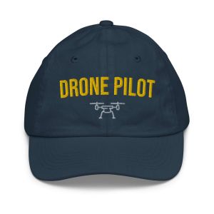
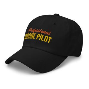
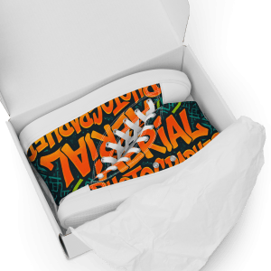
In short: Trim your trail kit down to one compact crossbody sling bag, wear supportive flat-soled footwear like our aerial photography high-top canvas shoes for stable footing during hand launches, and dress in breathable layers topped with a glare-blocking drone pilot cap.
1. Cut your trail weight without sacrificing flight time
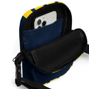
Leave the hard plastic case in the car. Hard cases protect gear in cargo holds, but on a two-hour trail climb they add dead weight and dig into your back. Pack your aircraft, controller, three charged batteries, and a small ND filter tin inside a lightweight drone pilot crossbody sling bag.
Because a sling bag rotates to your chest in one motion, you can launch from a narrow rocky ledge or wet heather without ever laying your pack down in mud or puddles.
2. Why stable footwear matters when hand-launching and catching
On mountain ridges, scree slopes, or wet coastal boulders, tall grass and angled rocks make ground takeoffs risky—one tilted propeller strike on takeoff can chip a blade miles from civilization. Most trail pilots launch and recover their drone by hand.
Hand-catching a drone in gusty ridge wind requires rock-solid footing because your eyes are tilted upward at the aircraft while one hand works the throttle stick and the other reaches for the fuselage. Supportive ankle-high footwear with a flat vulcanized rubber sole, like our men’s aerial photography high-top canvas shoes, gives you dependable grip on dry rock, wooden boardwalks, and dirt paths while keeping your pack transition comfortable all day.
3. Account for ridge wind and uphill return-to-home altitude
Two aerodynamic traps catch mountain drone pilots off guard:
- Fly into the wind on the first half of your battery: Always climb and fly upwind while your battery is between 100% and 60%. That way, if wind speed increases at altitude, the tailwind pushes your drone back toward you on the return leg instead of fighting a headwind on a 25% battery.
- Check your Return-to-Home (RTH) altitude on sloped terrain: RTH altitude is measured relative to your takeoff point, not the ground beneath the drone. If you launch at the base of a hill and fly up the ridge, a 50-meter RTH setting might be lower than the trees uphill. Always set RTH above the highest obstacle in your flight sector.
4. Layer for sweat on the climb and wind chill at the summit
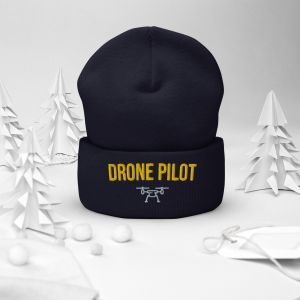
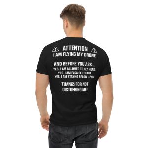
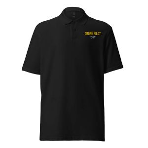
Hiking uphill warms you up fast, while standing still on a windy summit ridge for forty minutes cools you down even faster. Start the climb in a breathable cotton retro sunset drone pilot t-shirt or DJI-style sketch t-shirt, and keep a drone pilot hoodie plus a thermal drone beanie (or organic bucket hat in summer) in your pack for the summit session. Don’t forget a stainless steel drone pilot water bottle to stay hydrated on the trail.
5. Printing your best landscape compositions
There is nothing quite like seeing an aerial shot you hiked two hours to capture printed at full scale on museum-grade paper. Look at how top-down compositions translate to print in our Lough Tay Guinness Lake Ireland framed print, Irish autumn forest photography poster, and Antelope Canyon print, and use our poster sizes guide to pick the right dimensions for your wall.
Frequently asked questions about hiking with a drone
Is it legal to fly a drone in national parks or nature reserves?
Rules vary by country and park designation. In the U.S., National Parks prohibit launching or landing within park boundaries, whereas many National Forests and BLM lands permit recreational and Part 107 flights. In Europe, always check your national UAS geographical zones map (such as D-Flight, Dronechart, or ENAIRE) for Natura 2000 or wildlife restrictions before hiking in.
How does high altitude affect drone flight time?
At elevations above 2,000 meters (6,500 feet), thinner air forces propellers to spin faster to generate the same lift, reducing total hover time by roughly 10% to 15%. Plan shorter flights and land with a wider battery margin.